
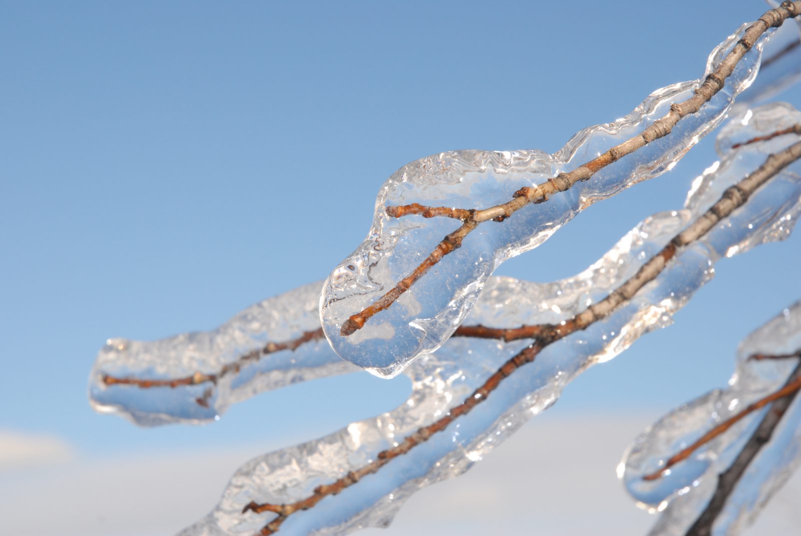
CORNWALL & SDG, Ontario – The region has been hit hard with freezing rain that started in the late evening of Sunday, Dec. 29.
Many communities across Central and Eastern Ontario are experiencing the storm, seeing upwards of 15 mm of ice accumulation, as well as power outages. Many have taken to Twitter, using the hashtag #ONstorm to tell their stories.
CPS Communications Coordinator Stephanie MacRae confirmed with the local Collision Reporting Centre that no reports of collisions were received as of 11 a.m. on Monday, Dec. 30 since the ice storm began.
“We are continuing to remind motorists to avoid any unnecessary travel. For those who must travel in these conditions, please slow down and drive with caution as the roads will continue to be slippery as the storm continues into tomorrow,” stated MacRae.
OPP staff were unavailable to comment before the time of publication regarding any collisions, however no incidents of collisions in Cornwall and SDG were reported on the OPP East Region Twitter account since the storm began.
According to Environment Canada, freezing rain and ice pellets will transition to flurries late this afternoon in the following areas:
- Cornwall – Lancaster
- Maxville – Alexandria
Freezing rain is expected to end late this afternoon and transition to ice pellets, snow or rain in:
- Morrisburg – Long Sault
- Winchester – Newington