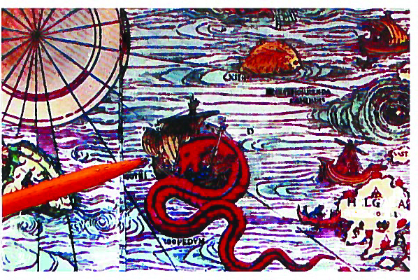
Back then, I mean way back then, the world was flat (except for some mountains, such as Ben Nevis and Arthur’s Seat), surrounded by a very large body of water to the west. Beyond that, on the far edge of the map, just before you fell off, there was ‘hic sunt dracones’ (that’s ‘here be dragons’ for those of you who skipped too many Latin classes).
The Greenwich Prime Meridian and all the other lines of longitude hadn’t been discovered. There was no such thing as ‘coordinates’. Legends were stories handed down, not keys to map symbols, and scales were only on fish, not on maps. The indigenous peoples living in what we now call ‘The Americas’ had not been mis-named as ‘Indians’. Even though Christopher C. hadn’t yet found them, they did exist. They were the two continents’ ‘first peoples’ who had somehow made their way across the Bering Strait, possibly on an ice bridge that existed between Siberia and Alaska, during an interval between two of the global warming periods.
Few of today’s travellers’ map-reading skills go beyond the use of CAA strip maps and interstate highway numbers for the annual drive to Florida.
It has been said that the only way Americans learn anything about other countries of the world is when they have to learn where those countries are so they can bomb them or go fight a war there. That can be said of the rest of us, Canadians included.
There! I’ve now established the ‘once upon a time’ of this week’s column. Today’s topic is navigation, the art of intelligently getting from here to there in a purposeful and efficient manner. Some of us have come a long way, but others are still cowering in fear of those dragons.
Our elementary school children are taught how to read text, but not how to read maps. Just as Shakespeare needs not only to be read, but his works have to be interpreted also. We need to be taught to interpret maps also. Because too many of today’s teachers are graduates of high schools and universities that regarded ‘cartography’ as a four-letter word, they do not have anything about map interpretation to pass on. It’s been my experience that teaching geography is the default assignment handed to the most rooky teacher.
To prove my point, I’ll plunk you down in the middle of nowhere and hand you a compass and a 1:250,000 topographic map. Would you have any idea how you would determine where you are?
Next week I’ll give you some first-hand experiences I’ve had with the art and science of navigation.


